
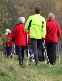
 If you’re out hiking a map of the area is an essential item to take with you and guide books can be very useful to read beforehand to gain a general overview of the area you intend to visit and to take with you on the trip itself as you will be able to use many tips and bits of pieces of advice as well as visiting some of the recommended attractions and/or features of a particular location.
Guide Books
There are so many guide books on booksellers’ shelves these days that you wouldn’t know quite where to start. That’s also true when it comes to hiking guides and it would be impossible and, perhaps foolish, to try to recommend particular guide books for particular locations. Some guides are written by local people who have spent most of their lives hiking in a particular location and, therefore, by all accounts they should be best placed to give you a guided tour but then they may not include all the kinds of things a new visitor to the location might want to know. Then there are those larger specialist global publishers who will include all the different aspects you might need to know about a particular hiking region but have no real local knowledge of, or experience in, hiking the location.
Therefore, it would be unwise to pick out a couple of publishers in general as producing the best hiking guide books overall. However, there are some general features to all good hiking guide books that you should consider when choosing a particular guide book for the location you are visiting.
A good hiking guide book should include drawings of route maps, illustrating a particular route and the best ways to navigate it and also cite the corresponding Ordnance Survey map co-ordinates for any route drawing they include. More information on maps later.
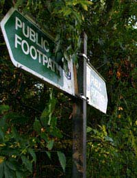
The routes should pay close attention to the specific start and end points and, how to get to and from the location by car and also by public transport (to the nearest point) as not all hikers possess a car.
The guide should also give the exact distance of the walk and as accurate an estimate as it can in how long the hike should generally take.
Rating systems are useful. For example, you could have ratings systems on a scale of 1-5 for things like the difficulty of the hike, the scenic beauty, the local amenities and facilities etc.
Some background history to the location is also useful as is an outline of what amenities are available nearby, such as coffee houses, snack bars, pubs etc and what attractions you may wish to visit before or after your hike. As with all good travel guides, superb photographic images will always add to the quality of the guide book.
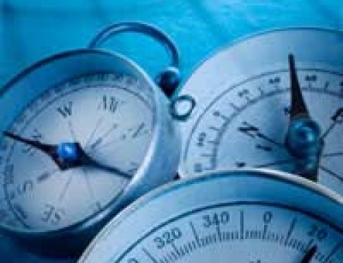
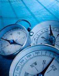
Maps
For hikers, there is only one real map to choose and that’s produced by Ordnance Survey (OS). They produce 2 different types of maps for the whole of the British Isles. One type is called ‘Explorer’ and is orange (with a yellow flash) in colour and the other is ‘Landranger’ which is pink in colour. Explorer maps cover much more detail and some would say, too much detail but are very useful if you are keen on visiting and revisiting the same location as they’ll contain far more information than the Landranger equivalent. The Landranger maps still have plenty of detail and are possibly more popular than the Explorer variety and are probably better if you’re covering greater distances on the same trip.
Ordnance Survey maps are, unequivocally, the most popular and most recommended maps for hikers in the UK. That said, Harvey Maps are also very good for the most popular areas of the UK, giving you additional information for things like where to obtain food, drink and accommodation and more information about places of local interest. They also come in 2 scales, similar in size to OS maps. They are printed on waterproof paper as well, which can be very useful to hikers in wet conditions but it should be emphasised that, unlike Ordnance Survey’s comprehensive UK wide coverage, Harvey Maps are simply tailored to the more popular areas for hiking and outdoor adventures.


Leave A Comment